
TONIGHT: An upper trough over Southern California is helping to maintain southwesterly winds in the atmosphere above West Texas. The dryline has moved east of us with a cold front to the north. Convection may develop over Scurry/Mitchell Counties this evening, possibly accelerating the front southwest overnight, leading to increased moisture but little cooling. Overnight lows will be 5-7F above normal.
LOW: 61°
WIND: W 10-15 mph.


TOMORROW: On Friday, temperatures remain 5-7F above normal with a chance of convection along the boundaries, particularly in the east where better moisture is present. Severe weather threats persist with steep mid-level lapse rates and modest deep-layer shear. Convection diminishes after midnight with lows 7-9F above normal due to strong winds.
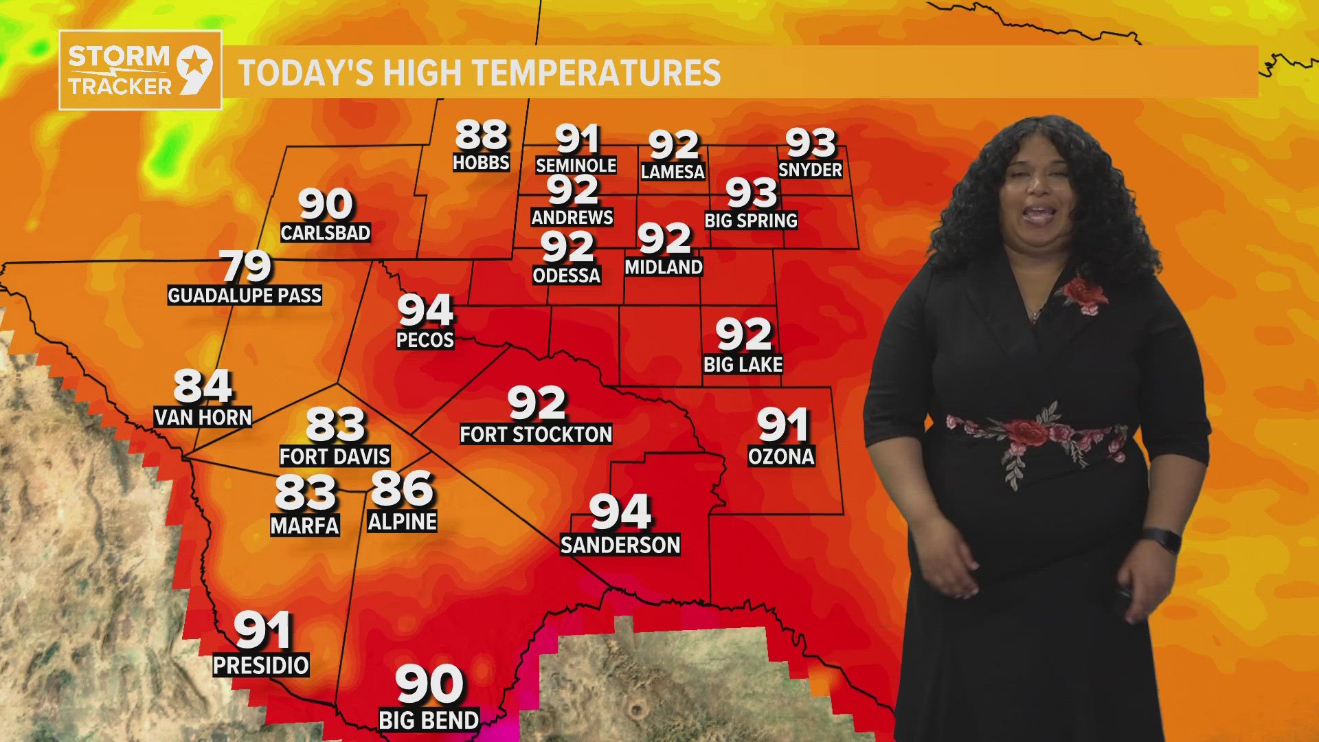
HIGH: 88°
WIND: E 10-15 mph.


IN COMING DAYS: The weekend forecast indicates wet conditions east of the Pecos River, as a southern stream shortwave trough moves into the southern Great Plains on Saturday. Widespread thunderstorm development is expected by mid to late afternoon, possibly forming a mesoscale system as it moves eastward. Severe weather is possible with ample destabilization and high moisture levels, supporting the threat of heavy rainfall and flash flooding. By late Sunday morning, convection is likely to weaken or exit the region, with morning temperatures remaining mild due to clouds and rain. On Sunday, temperatures may be slightly cooler, especially in areas with significant rainfall, with the potential for scattered thunderstorms across eastern portions of the region. The upper-low over the Great Basin progresses eastward at the start of the new week, leading to dry conditions with breezy southwesterly winds. Westerly winds prevails through Tuesday and Wednesday, with warm temperatures in the 90s and no rain expected. Thursday may bring a cold front to the northern portions of the region, but details are uncertain, with warm temperatures and sunny skies anticipated for the new week overall.


Saturday: 30% chance for showers and partly cloudy with highs near 85°.
Sunday: 30% chance for showers and mostly cloudy with highs near 83°.
Monday: Mostly sunny with highs near 91°.
Tuesday: Sunny with highs near 91°.
Wednesday: Sunny with highs near 93°.
Thursday: Sunny with highs near 92°.
Friday: Partly cloudy with highs near 88°.
Saturday: Partly cloudy with highs near 82°.

