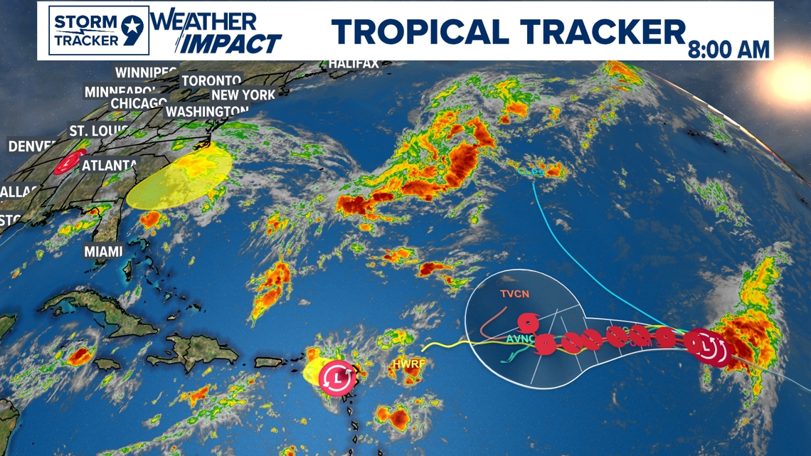
The Tropical Atlantic Season was forecasted to be more of an active season during the transition period from a El Nino to a La Nina. National Hurricane Center's forecasted season was from a range of 17 to 25 named storms of 39mph or higher with 8-13 are forecasted to be hurricanes with 4-7 to be major hurricanes (Category 3 or higher). So far in the Atlantic Hurricane season as of September 13th, 2024, we have only had one major Hurricane with Beryl forming well before the traditional season with the rest only being Tropical Storms and the recent Francine.

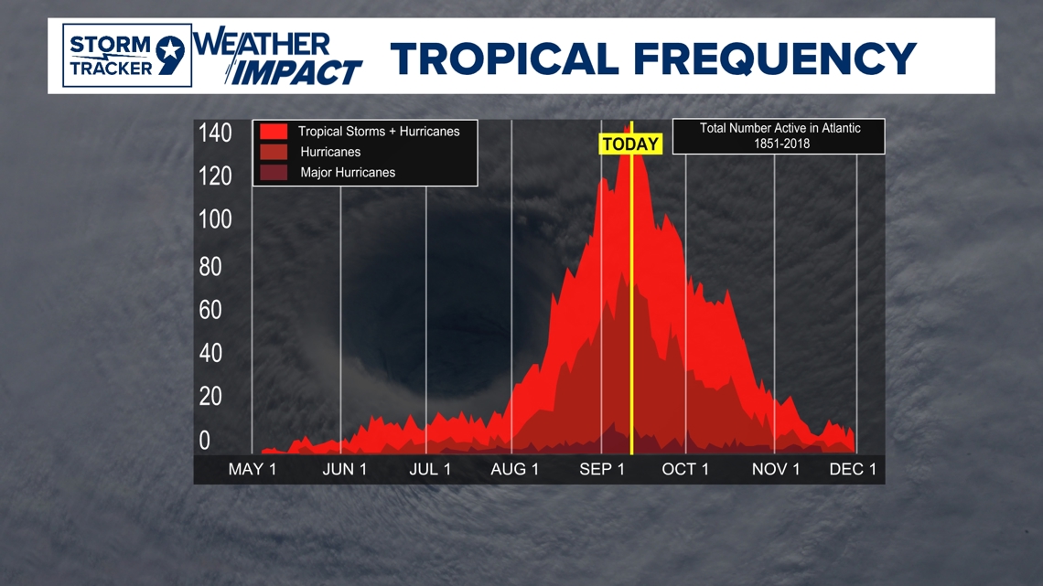
This week marks the peak of Hurricane Season on a climatology standpoint marking September 10th as usually the most active day. Right now the outlook is looking active and forecasted to be more active in the weeks ahead with the conditions slowly becoming more favorable.

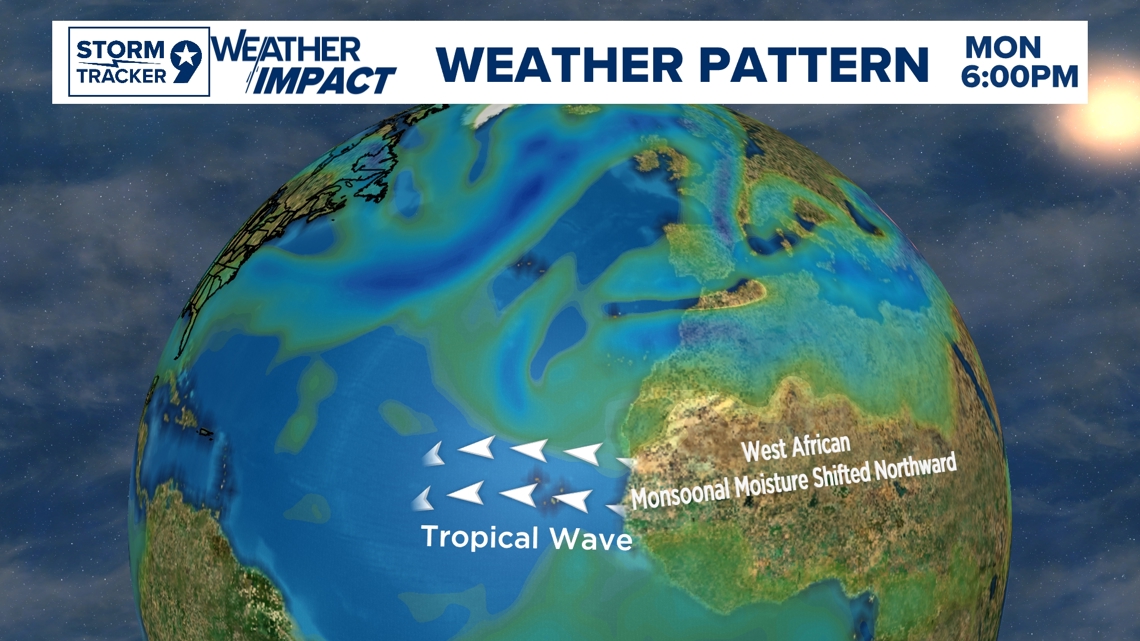
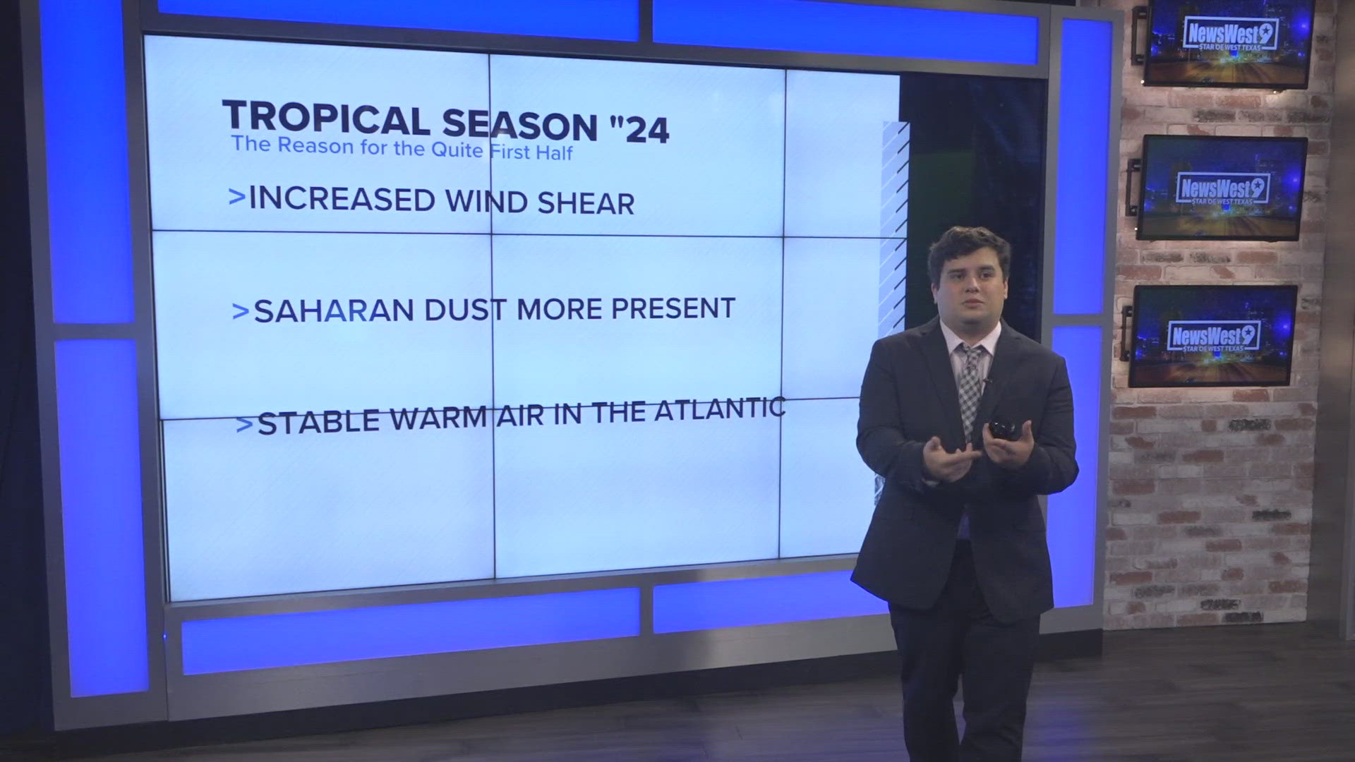
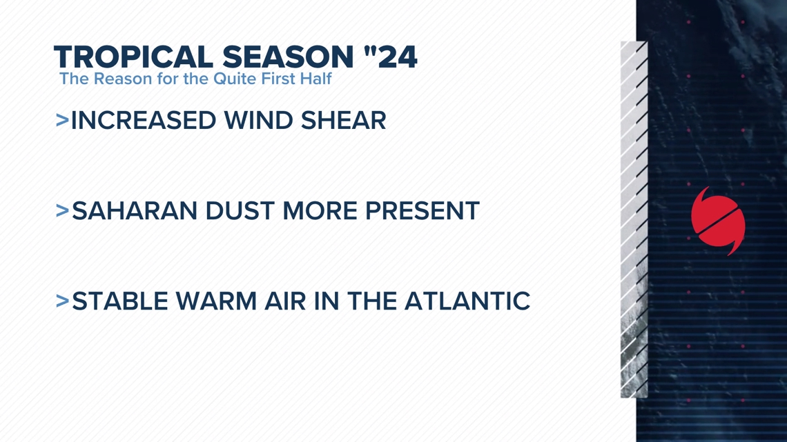
So the question remains, why was it more of a less active season at the start? We had conditions early on that fought off well against many systems that tried to form with the exception of Beryl sliding in underneath the Saharan Dust. Saharan Dust plumes come off the coast of Africa and typically slow down as the trade winds are not as agressive but more plumes were present later into the season into August which hindered much development of these systems. Wind shear was also more present due to more stable air in the atmosphere with the Atlantic High pressure which wind shear tears up the formation of hurricanes.

The Conditions in the tropics are slowly getting back to "usual conditions" and the National Hurricane Center has forecasted the season to start picking up with the less presence of Saharan dust plumes and less windshear as we head into next week. It doesn't mean if Hurricane Season was a slow start, that doesn't mean it will be slow until the end which is November 30th. West Texas can get impacts with extra moisture and rain from post tropical systems in which can causing flooding and potential severe storms if the setup and conditions are in favor for it.