
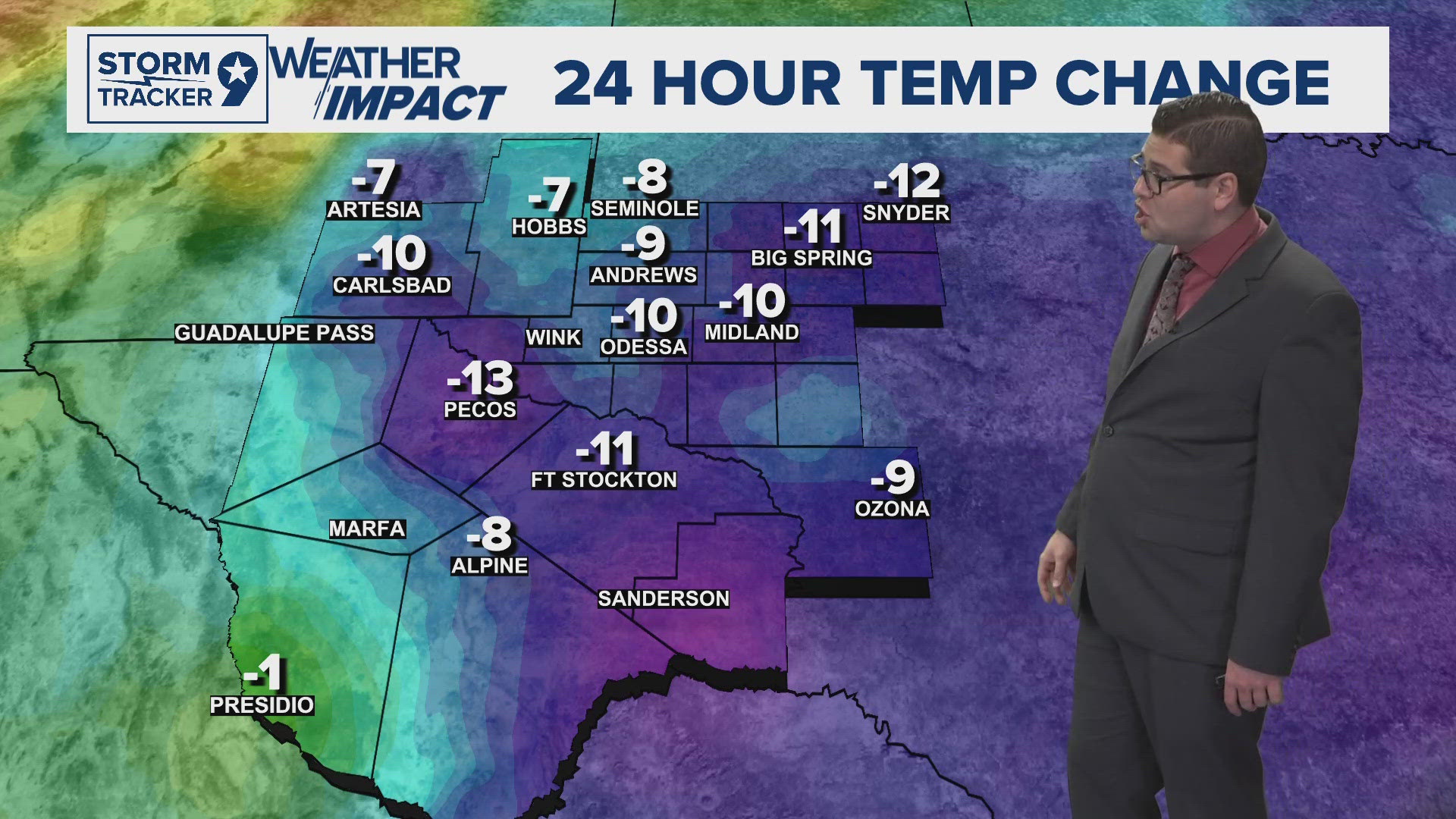
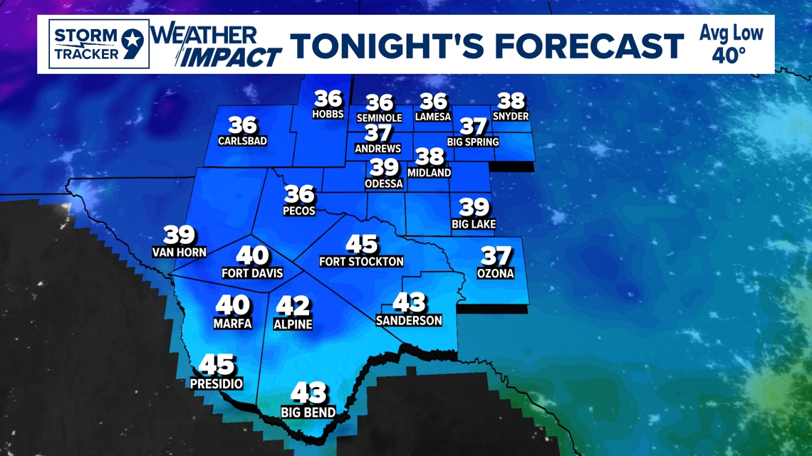
TONIGHT: Northerly winds will gradually shift to the southeast as mid-level ridging builds, though cold air advection will continue to suppress warming until later tonight. Lows will range from the lower 30s in northern and central Eddy County and the basins of Culberson County to mid-30s for most other areas. Areas along the Rio Grande will remain milder, with lows in the lower to mid-40s.
LOW: 38°
WIND: SE 5 mph.

TOMORROW: Warming will be more evident as southerly winds shift to westerly, and ridging strengthens aloft. Highs will return to near or above seasonal norms, with mid to upper 60s across southeastern New Mexico and much of the Permian Basin, lower 60s in the Guadalupes' highest peaks, and lower to mid-70s elsewhere. Along the Big Bend, temperatures will climb into the lower 80s. Tomorrow night, lows will be similar to tonight, though slightly warmer trends are noted.
HIGH: 69°
WIND: SW 5 mph.


IN COMING DAYS: The Intermountain West will experience a mix of upper air high pressure and westerly winds, positioned between the bomb cyclone off the northwestern coast and another over the Great Lakes. This setup will result in a warming trend through the weekend. High temperatures will run 10-15 degrees above normal, with lows 5-10 degrees above average for this time of year. A dry backdoor cold front is expected to move through on Monday, briefly bringing temperatures back down to near seasonal norms. However, a quick rebound is anticipated by Tuesday, followed by another cold front on Wednesday. This second front will likely maintain near-normal temperatures for Thanksgiving Day. Precipitation chances remain minimal, as both fronts lack sufficient moisture and forcing to produce measurable rain or snow. Looking beyond the current forecast period, a potential pattern change late in the Thanksgiving weekend could bring an increase in precipitation chances.


Friday: Mostly sunny with highs near 70°.
Saturday: Sunny with highs near 75°.
Sunday: Mostly sunny with highs near 79°.
Monday: Partly cloudy with highs near 68°.
Tuesday: Partly cloudy with highs near 70°.
Wednesday: Mostly cloudy with highs near 70°.

