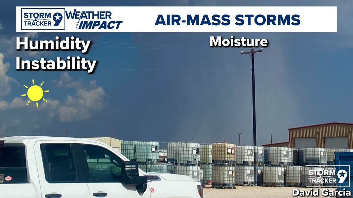
West Texas for the past week has experienced small systems lately called Air Mass Thunderstorms with low coverage and they are quick popcorn showers. When it comes to the coverage, Meteorologists call these "pops" also known Probability of Precipitation which is the likelihood of precipitation at any given point in our forecasted area. When it comes to the short-lived storms, these are common during hot summer days more specifically in areas that have a decent amount of humidity and instability.
This is the case nine times out of ten for showers in the Higher Elevations with the support of monsoonal moisture and extra lift which causes these short-term systems.
Air Mass Thunderstorms form from elevated moisture in the upper atmosphere upstairs and instability alone just lasting around 15-45minutes if not an hour in some cases. The occurrence of these systems typically occurs during our Afternoon-Evening hours due to the sun heating the atmosphere providing valuable energy with the necessary ingredients to create these short-term storms.


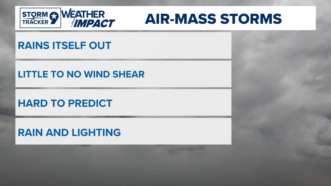
Air Mass Thunderstorms duration is short due to the fact that these systems rain itself out of all the moisture given with the possibility of these forming off an outflow boundary or creating its own outflow boundary which is rain cooled air traveling outward from a dying storm that could also cause dust storms! These systems also have little to no wind shear which keeps the severe risk low. Wind shear is the responsible factor to keeping its storm's structure which it's one of the key factors to severe storm development. Don't let this fool you though, Air Mass Thunderstorms still can provide potential downburst of rain and lighting associated with the risk of high winds but something that isn't of worry too much.


Thankfully though, most of the time, these systems are just a good ole thunderstorm but always be aware of the risk of what these systems could be and stay weather aware.

