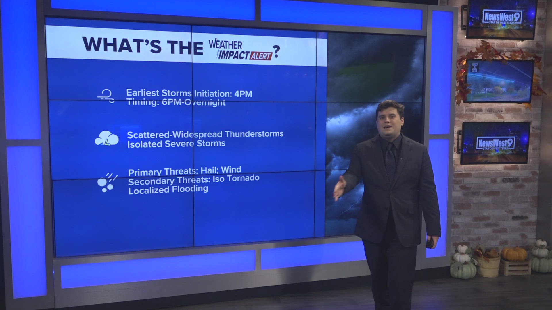
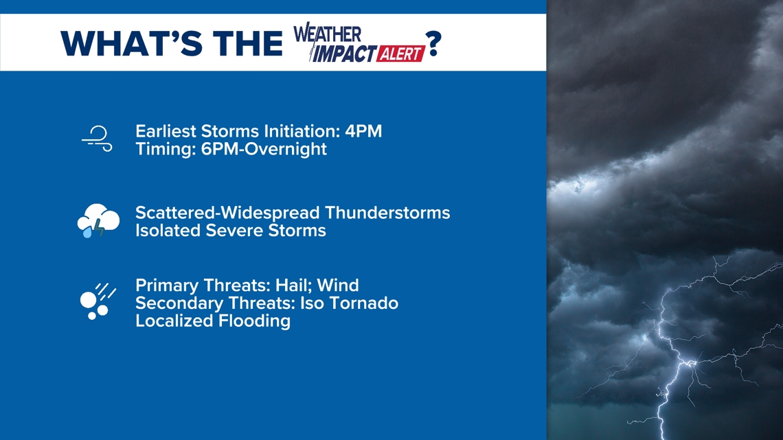
Weather Impact Alert is activated heading into Thursday, November 6th and Friday, November 7th. Our primary threats are the hail and wind threat heading into tomorrow with the possibility of an isolated Tornado. We expect localized flooding to also be a concern with our eyes on the Northern Portions of the basin seeing activity possibly in back-to-back convection.

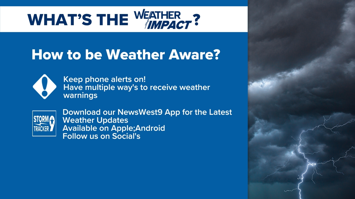
We are keeping all possibilities on the table in which we keep a constant eye on our models and how small changes in the models can lead to different impacts for your local communities. We issue a Weather Impact Alert for the concerning threat of either abnormal weather, severe weather, or concerning threats that can just either be in simplicity of air quality or fire weather concerns. It is our message to send for a day to be more weather alert for a particular day in our forecast for what weather could do to impact your day. So, you must be wondering, what can I do to be more weather alert and aware? Ensure that you have phone alerts on at all times even heading into our winter season and have installed our NewsWest9 app to ensure the latest updates from your weather team! Follow our social media outlets to where we will constantly give the latest information and what we are seeing in our forecasts.

Our primary Severe Threats are including the possibility of Severe Hail, damaging winds up to 60mphs gusts with the possibility of an isolated tornado. This threat is present due to the influx of moisture and our surface low which will help elevate lift with winds turning with height (veering with height) which will cause that overall rotation. Our trough system will help elevate wind speeds in which it will eject which is increasing wind speeds with height. This will increase our updrafts and windshear which will help with Severe development for growth of thunderstorms. Increased updrafts also initiate the hail risk in which the higher the updraft speed = bigger the hailstones. The cold front will also help as it pushes through, it will create almost as a line as essentially it will walk the storms like a dog with activity present possible behind due to our upper atmosphere mechanics. As the cold front pushes further out of our region, the severe weather threat will follow into our neighboring regions for the Concho Valley and Big Country.

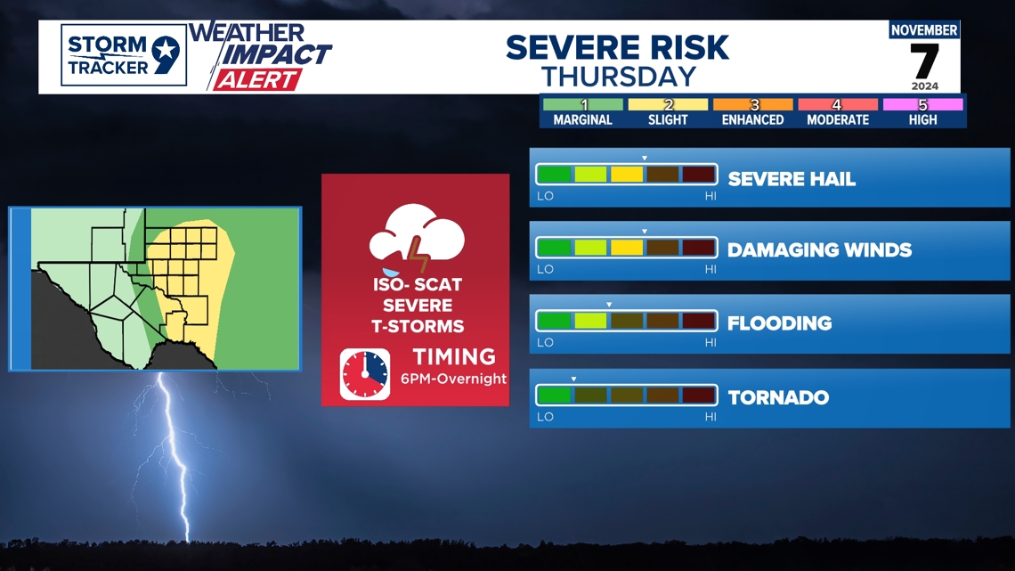
We have our cold front coming in which will drop temperatures nice but turn stationary over our region which will almost we expect to have a stalling feature which could lead to possible prolong rain within the region which is why we have our level 2 flooding risk over our region.

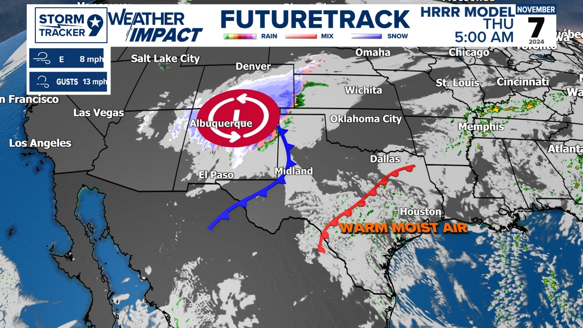
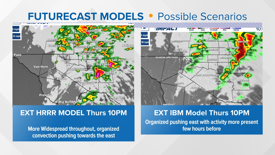
We look and consider different models which have different scenarios to what we can see within the region. Different models exist for the fact so we can consider different outlooks with pre-set atmospheric conditions set in the models that would allow more convection and be a little more conservative if atmospheric conditions hinder development. We use a lot of different models to understand more of the possibility we can see and essentially create a blend of what is going to happen in our forecast. This is looking at the latest extended model run of both the HRRR Model (Convective Allowing Model) and the IBM Model (our in-house model that has some blends of models and a very high-resolution model like the HRRR). Some trends we are noticing though is the increase of westward motion in Convection. I suspect our Storm Prediction Center risks should be shifted slightly westward tomorrow which is what happened with our Severe Threat Today when we initially had our outlook just yesterday. We expect this to be trended towards the same. Keep up with the latest with us at NewsWest9 for the latest and accurate forecast so you can be Weather Aware heading into our Severe Threat for tomorrow and our upcoming Winter Season ahead!

Feel free to follow my Facebook Weather Page on more details!

